

Open-source stack for building maps with vector tiles
Includes the OpenMapTiles schema, ready-to-use map styles, and tools for generating vector tiles from OpenStreetMap.

Your browser does not support WebGL, which is required for this map.
The OpenMapTiles project was created by MapTiler, the maintainer of the schema and tools. As the authors of the open-source stack, MapTiler also provides professional support and high-performance infrastructure for organizations running maps in production.
What is the Open Tile Schema?
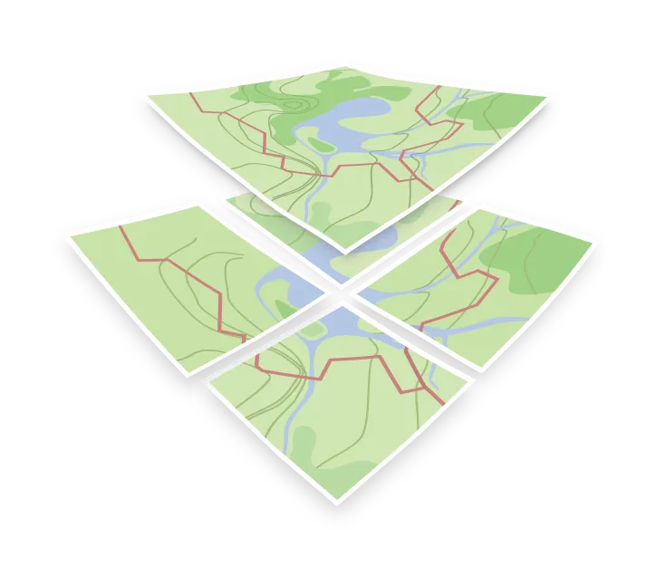
The Vector Tile Schema is an open, production-ready specification for structuring map data. Built on OpenStreetMap, Natural Earth, and other open data sources, it defines how geographic features are organized in vector tiles.
It captures common cartographic decisions - layers, attributes, and naming - in a clear data model that helps you build maps faster and more consistently.
Free to use, modify, and extend. The schema can be adapted or reimplemented in any project with attribution.
Used by hundreds of mapping projects and applications including






Open Map Styles
OpenMapTiles includes several free and open-source styles maintained as part of the project. For a wider selection of professionally designed premium styles, see the commercial offerings from MapTiler.
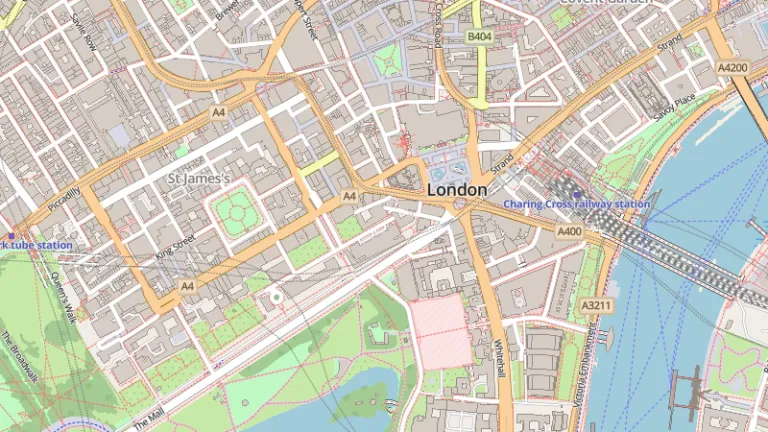
OSM OpenMapTiles
The official style of OpenMapTiles, designed to display all features in vector tiles. Heavily inspired by OSM Carto.
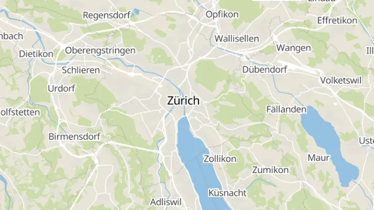
MapTiler Basic
MapTiler Basic is a basemap that tries to stay in the background and only give the most relevant information.
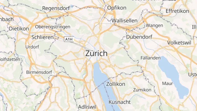
OSM Bright
OSM Bright is a general-purpose basemap showcasing the great detail of OpenStreetMap data. It is a good starting point for your own complex basemaps.
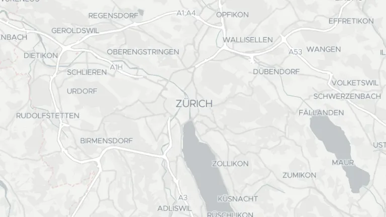
Positron
Positron is a beautiful light basemap, ideal as a non-obtrusive base for your data visualizations. The cartography by Stamen Design is licensed under CC-BY.
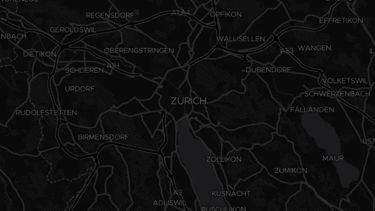
Dark Matter
Dark Matter is a dark basemap and a good starting point for other darker designs. The cartography by Stamen Design is licensed under CC-BY.
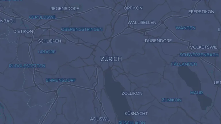
Fiord Color
Fiord Color is a cool blue-toned basemap optimized for data visualizations. Its muted color palette keeps your data layers in focus while providing clear geographic context.

Discover more styles
Explore our full library of community styles and open-source map design resources on GitHub.
View all on GitHubGet ready-made tiles
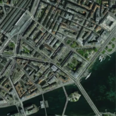
Don't want to generate tiles yourself? The maintainers of OpenMapTiles offer ready-to-use map tiles for the entire planet, countries, and cities. Choose from a range of free and premium datasets, including high-resolution satellite imagery.
Go to downloads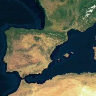
Rooted in open-source history
OpenMapTiles builds on OSM2VectorTiles, a project that won the OpenStreetMap Innovation Award in 2016. It originated in Switzerland as a bachelor’s thesis at OST University, developed in cooperation with Klokan Technologies.
The schema design was influenced by the cartography of the Positron basemap, developed with Paul Norman and the Wikimedia Foundation. Today, the project is maintained and supported by the MapTiler team.