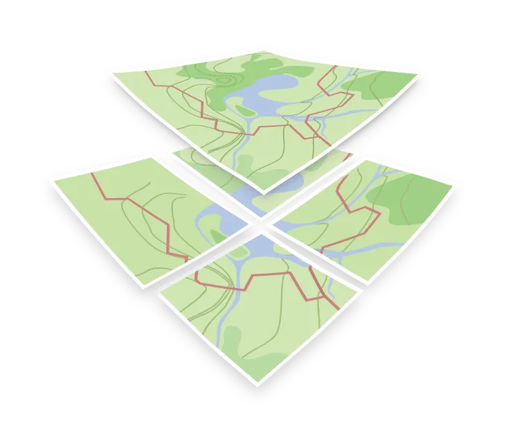

Style map with MapTiler
Customize Map Styles with the Visual Editor
Because OpenMapTiles uses a structured, standardized schema (with clearly defined layers like water, road, building, landuse, etc.), designing custom map styles is incredibly straightforward.
Instead of manually editing raw JSON stylesheets containing thousands of lines of style rules, you can use the MapTiler Customize visual editor to modify map designs in real time right in your web browser.
Visual Map Customization
The MapTiler Customize tool provides an easy-to-use, slide-out configuration panel designed for rapid map styling:
- Quick Colors: Change the main colors of your map (land, water, forests, roads, and buildings) with simple color pickers.
- Font Control: Choose from a wide range of modern typefaces to style labels globally.
- Language Selection: Toggle map labels to show local names, English translations, or bilingual labels with a single click.
- Layer Visibility: Easily show or hide complete categories (such as transit networks, specific labels, or administrative boundaries) based on your use case.
Advanced Style Editor
If you need fine-grained control over individual OpenMapTiles layers, the Customize tool allows you to switch into the Advanced Editor:
- Edit specific filters, font sizes, line widths, and opacity values for individual layers (e.g., secondary roads vs. motorways).
- Directly view and modify the underlying Mapbox GL Style JSON structure.
- Add your own custom vector sources or raster imagery overlays.
- Set up zoom-dependent rules for styling elements differently at various map scale levels.
Deploying Your Custom Style
Once you are satisfied with your custom map design, publishing and deploying it is incredibly fast:
- Click the Save and then Publish buttons in the editor.
- MapTiler Cloud will host your style on a global CDN and generate standard endpoints.
- You can reference the CDN-served Style JSON directly in web applications (using MapLibre GL JS, Leaflet, or OpenLayers), mobile applications (Android/iOS SDKs), or desktop applications (GIS software).
const map = new maplibregl.Map({
    container: 'map',
    // Your custom style CDN endpoint hosted on MapTiler Cloud
    style: 'https://api.maptiler.com/maps/YOUR-CUSTOM-STYLE-ID/style.json?key=YOUR_API_KEY'
});