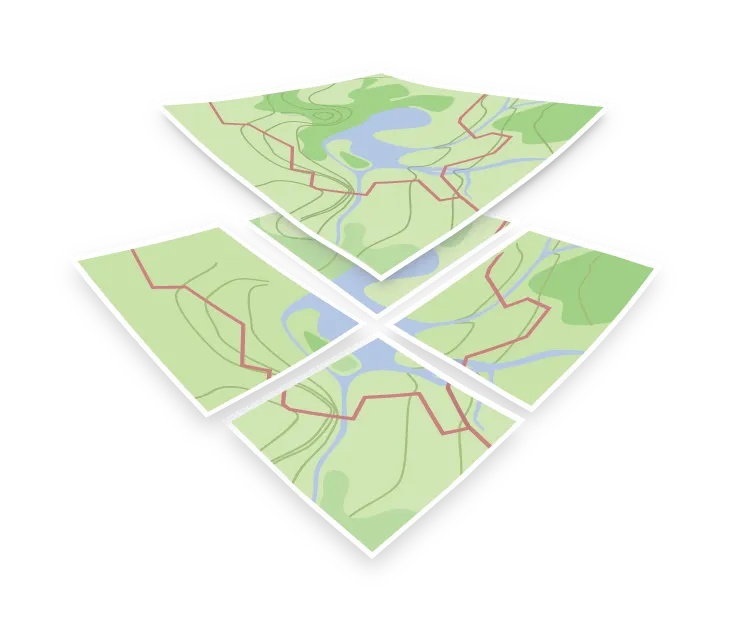

Open maps
Open maps are maps you can run and modify without asking anyone for permission. Every layer of the stack carries an open license: the data, the schema that organizes it, the styles that paint it, and the software that serves and renders it.
This matters because a map is not one product. If any single layer is closed, you are locked in at that layer even when the rest is open.
Open-source maps
The OpenMapTiles stack is open at each step:
- Data comes from OpenStreetMap under the Open Database License, with some layers from Natural Earth.
- Schema defines the layers and attributes in the tiles, and is published under CC-BY.
- Styles such as OSM OpenMapTiles, the project’s official style, are published as a style JSON and can be edited or forked.
- Tools for generating tiles and serving them are open-source, so you can run the whole pipeline on your own hardware.
Open tiles
An open tile schema is the part that keeps the stack from locking you in. Because the layer names, attributes, and zoom ranges are documented and openly licensed, a style written against them works with any tileset built to the same schema, whoever generated or hosts it.
That gives you a real exit: you can move from a hosted maps API to your own server, or the other way, without rewriting your styles or your application code.