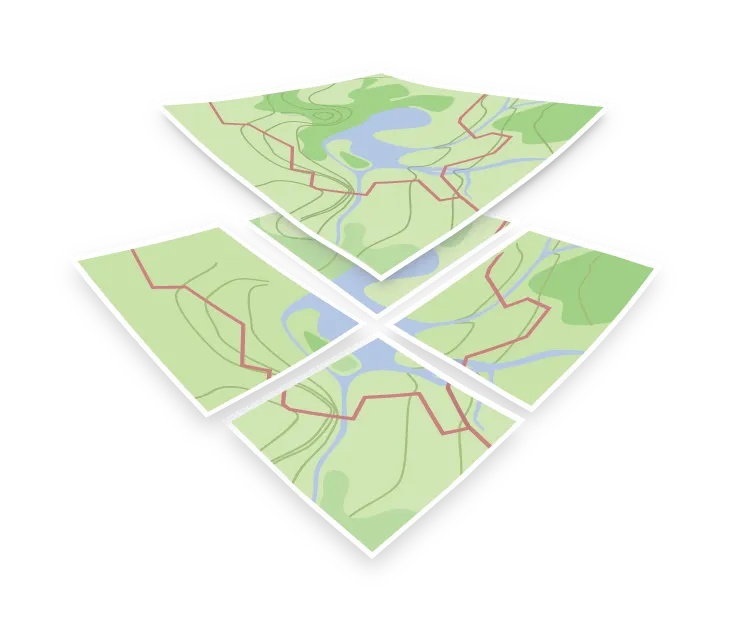

Cartography
Cartography is the design discipline behind a map. It is the set of decisions about which features appear at which zoom, what gets simplified, what color carries what meaning, and which labels earn their space.
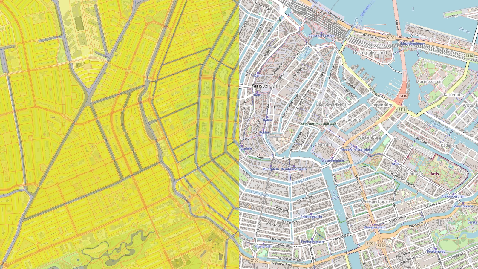
Cartography in a vector tile stack
In a vector tile stack those decisions are split across two places, and it helps to know which is which.
The schema decides what data is available. It sets the layers, the attributes, and the zoom level at which each feature first appears. Dropping a minor road from low zooms is a schema decision, and no style can bring it back if the data is not in the tile.
The style, written as a style JSON, decides how the available data looks. Colors, widths, fonts, label priorities, and which layers are drawn at all are decisions made in each style layer, and they can be changed at any time without regenerating anything.
The practical consequence is that if a feature is missing from your map, the first question is which of the two is responsible. If it is not in the tile, the style cannot help.
Generalization
The hardest part is generalization: keeping a map legible as it zooms out. Coastlines are simplified, small features are dropped, parallel roads are merged, and labels compete for room. Done well it is invisible, and the map simply looks right at every scale.