In case you wish to publish vector tiles and already have a PHP stack running you can use TileServer PHP for serving vector or raster tiles. TileServer PHP is implementing the OGC WMTS standard for pre-rendered raster tiles but it is fully prepared for fast serving of vector tiles. TileServer PHP is only one PHP file which you need to copy together with the MBTiles file.
More information on GitHub page of the project.
Requirements for running
- Apache webserver (with mod_rewrite / .htaccess supported)
- PHP 5.2+ with SQLite module (php5-sqlite)
Note: If you don’t have PHP stack already installed you can use WAMP or XAMPP package for quick installation.
Quick start
1. Download TileServer PHP
Source code is available on TileServer’s GitHub. Download the latest release and unpack it to directory on your LAMP/WAMP server.
2. Download Vector Tiles
Go to the Downloads page and download the vector tiles for your region or the planet. You need to copy this file into a directory with TileServer-php.
3. Open TileServer in your browser
Tileserver is distributed with sample viewer for debugging. So you can view vector tiles directly without style.
4. Own viewer with style
TileServer doesn’t serve styles so you need to host them with your apache in separate folder. Create your own HTML viewer with MapBox GL JS and link TileJSON from TileServer with links to PBF tiles.
Styling your tiles
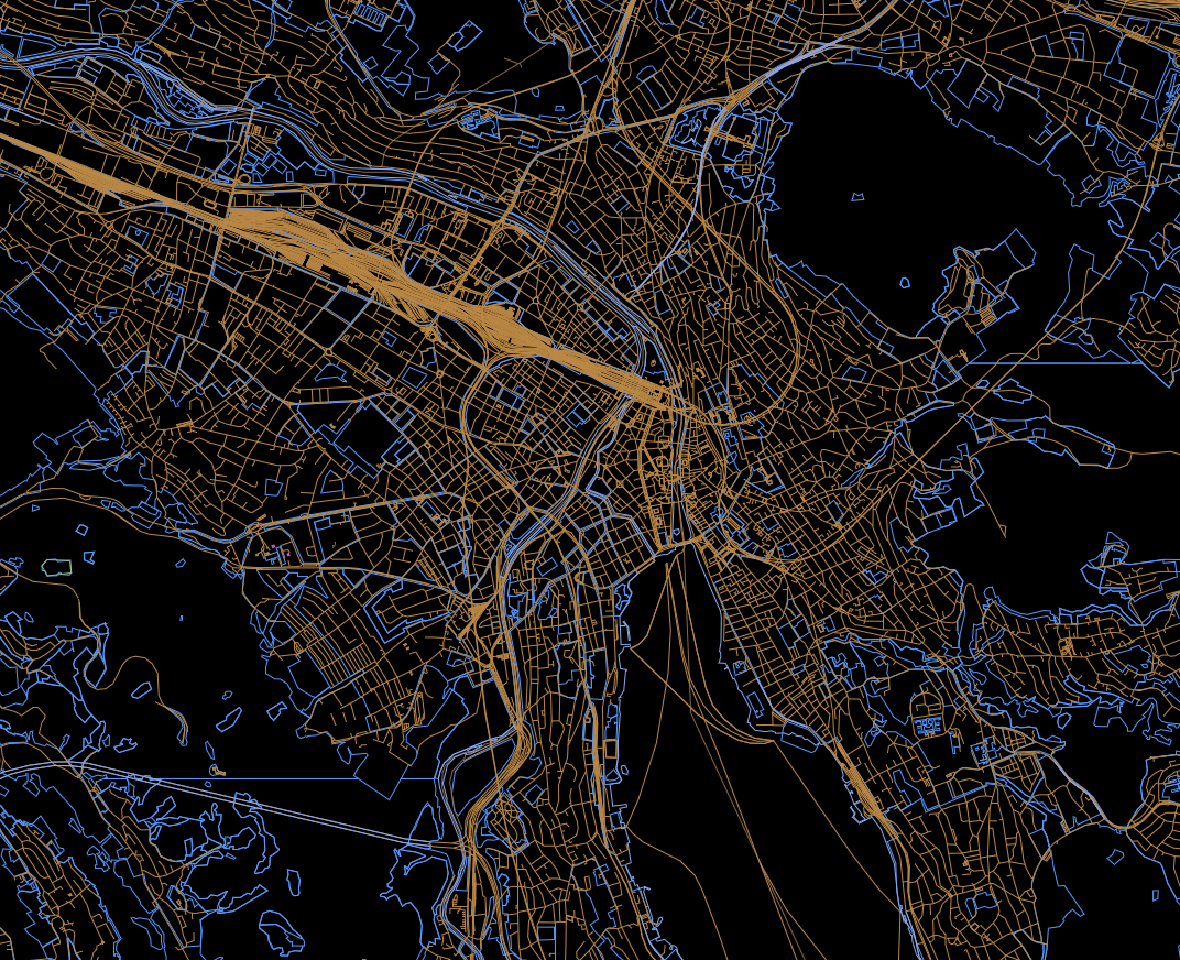
The screenshot above is a raw debug view of your map data. For transformation into a pretty map, you need a browser tile renderer, such as Mapbox GL JS. Defining the look is done by style file that points at your tile server. You may also need to serve various supporting files for rendering, such as fonts to render the labels.
You can start from an existing style, and adjust it as needed. OSM Bright is a good starting point. Note that you will need to clone the gh-pages branch, rather than master, to get the files you need for your website.
Once you have the files in place for your web server to serve, edit style-cdn.json and adjust the URLs inside to point at your tile server. Find the snippet that looks like this:
  "sources": {
    "openmaptiles": {
      "type": "vector",
      "url": "https://api.maptiler.com/tiles/v3-openmaptiles/tiles.json?key={key}"
    }
  },
and change the value of "url" to point at TileJSON output from your TileServer PHP. For example, if your server is installed at http://example.com/tileserver.php, and you’re serving an .mbtiles file named united_states_of_america.mbtiles, then this snippet should look like this:
  "sources": {
    "openmaptiles": {
      "type": "vector",
      "url": "http://example.com/tileserver.php?/united_states_of_america.json"
    }
  },
You also need to adjust the URL in "sprite" (example below). It should point to the folder on your server where you have extracted the style, and in particular, where sprite.json and sprite.png files are. Assuming the same server, and that the files are in its root folder, the URL would be:
"sprite": "http://example.com/sprite",
Note that you also need to include the beginning of the filename - sprite - after / here. The renderer will then append .json and .png to that as needed.
You should have the map working now - open index.html in a web browser to test.
Hosting everything locally
After you are done with the steps above, you are serving tiles directly from your webserver altogether with the style. However, the renderer (Mapbox GL JS) comes from Mapbox servers, and the fonts come from http://fonts.openmaptiles.org/. If you like to serve everything from your own server, there are few extra steps.
First, download Mapbox GL JS. You need all the files from the dist folder of the GitHub repository, and also the .js file. You can generate the .js yourself if you clone the entire mapbox-gl-js repository and follow the guide. However, this step requires Node.js. Alternatively, you can download the pregenerated .js file from the URL provided at the Mapbox GL JS documentation page - it is the one used for <script src="...">. The .js file should go alongside the .css file.
Then, edit index.html of your style to point at your mapbox-gl-js copy. For example, if you are serving mapbox-gl.js and accompanying files from the root folder alongside your index.html (everything is in the same directory), then the latter should reference the former like this:
<link rel="stylesheet" type="text/css" href="mapbox-gl.css" />
<script src="mapbox-gl.js"></script>
Now you need the fonts. They can be obtained from this OpenMapTiles repository - note that you will again need the gh-pages branch of it, rather than master, to get the actual font files. Download the directories only, not the .zip files. Place all of them in a separate directory from which your webserver can serve them, and then edit style-cdn.json to point at that directory. You need to adjust the "glyphs" settings, which will initially look similar to this example:
"glyphs": "http://fonts.openmaptiles.org/{fontstack}/{range}.pbf",
For example, if your style index is at http://example.com/index.html, and your font directories are under http://example.com/fonts/, then the above becomes:
"glyphs": "http://example.com/fonts/{fontstack}/{range}.pbf",
You will also need to adjust the font references in the style, so they only reference a single font family at once, rather than several alternatives. Alternatives are not supported when hosting fonts as static files. You need to find all places that mention "text-font", which will look somehow like this:
"text-font": [
  "Open Sans Italic",
  "Klokantech Noto Sans Italic",
  "Klokantech Noto Sans CJK Regular"
],
and edit each one, so that the list has only one font in it, e.g.:
"text-font": [
  "Open Sans Italic"
],
(Don’t forget to remove the comma before closing ]! If your style suddenly stops working after you did this change, it’s probably because you have forgotten a comma somewhere.)
Now you can test your changes by reloading index.html. If everything was done right, you should see the rendered map again.
With this setup, you can serve maps from a server running on the same machine as the browser without an Internet connection - effectively, the combination of TileServer PHP and Mapbox GL JS becomes an offline vector .mbtiles map viewer.
Server from folder structure
This functionality is used to increase the performance of serving. The vector tiles can be unpacked from MBTiles (SQLite) container and hosted just a in direct folder structure - the same way as raster tiles are typically made with a software like MapTiler or GDAL2Tiles. The demonstration of such approach is visible at http://klokantech.github.io/mapbox-gl-js-offline-example/.
To unpack and ungzip the tiles is useded mb-util than it is neccesery to unzip PBF files:
./mb-util --image_format=pbf countries.mbtiles countries
gzip -d -r -S .pbf *
find . -type f -exec mv '{}' '{}'.pbf \;